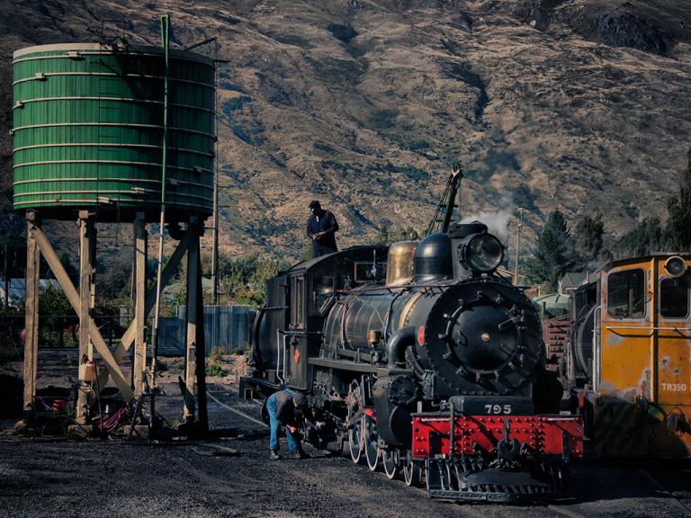
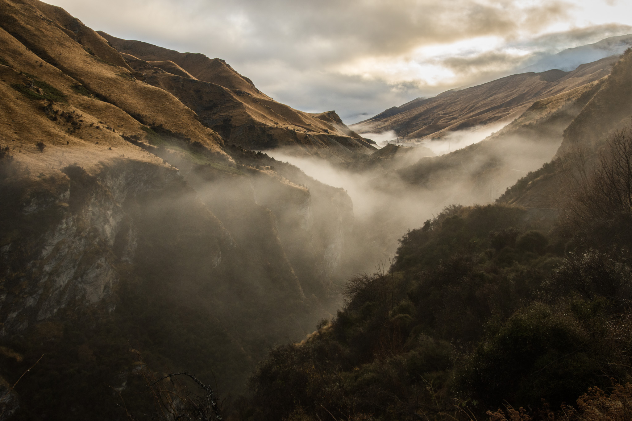
Much of the struggle for gold took place east of Queenstown where the landscape is rugged, rocky and arid. Going in this direction we can visit amazing sites like Gee’s Flat, deep in the Kawarau Gorge, the Bannockburn Sluicings and the remains of Carrick Town with its great water wheel high up on the range with the expanse of the Cromwell basin spread out below.Further east, beyond Alexandra, we encounter the wild hills of Rough Ridge, dotted with crazy, wind-worn, rock tors and then on to Moa Creek with its solitary old pub. Our farthest point is Poolburn dam.
With so many options in this direction, tell us what interests you most. We'll discuss at the start of the tour, taking your photography experience and interests, your equipment, light and weather conditions into account to design a great day's photography.
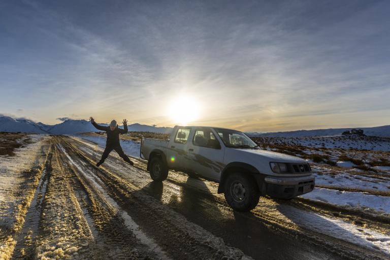
This full-day tour takes us to the wild and rugged hills and mountains east of Queenstown. It's further than most of our tours, but it takes us into some very different country. No verdant lakes and picture-perfect mountains here. This is rugged, dry, high altitude tussock country.
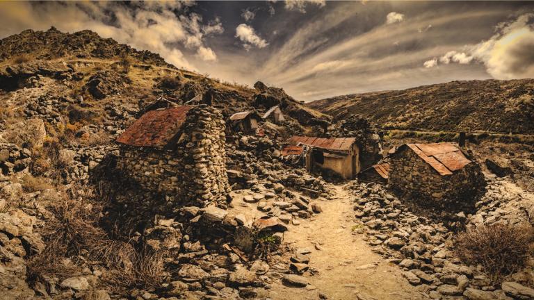
First settled a mere 160 years ago, these alien landscapes became home to thousands of fortune seekers from around the world. Shanty towns sprung up overnight, collections of shops, pubs and brothels catering to the needs of the men. These towns were outposts in a harsh wilderness. Some, like Cromwell and Alexandra, grew to become the civic centres of today, others shrank or disappeared altogether.
We explore the back roads, cross the tor studded hills and mountains, visit the ghost towns and capture the history of this stunning and fascinating region.
Please note: By booking a tour, you are not booking a specific destination.
This page gives you a sense of what you might see if we decide to head in this direction from Queenstown. We keep our itinerary flexible until the day of the tour. Our route on the day will be determined by you or your groups' preferences, weather, and light conditions on the day.