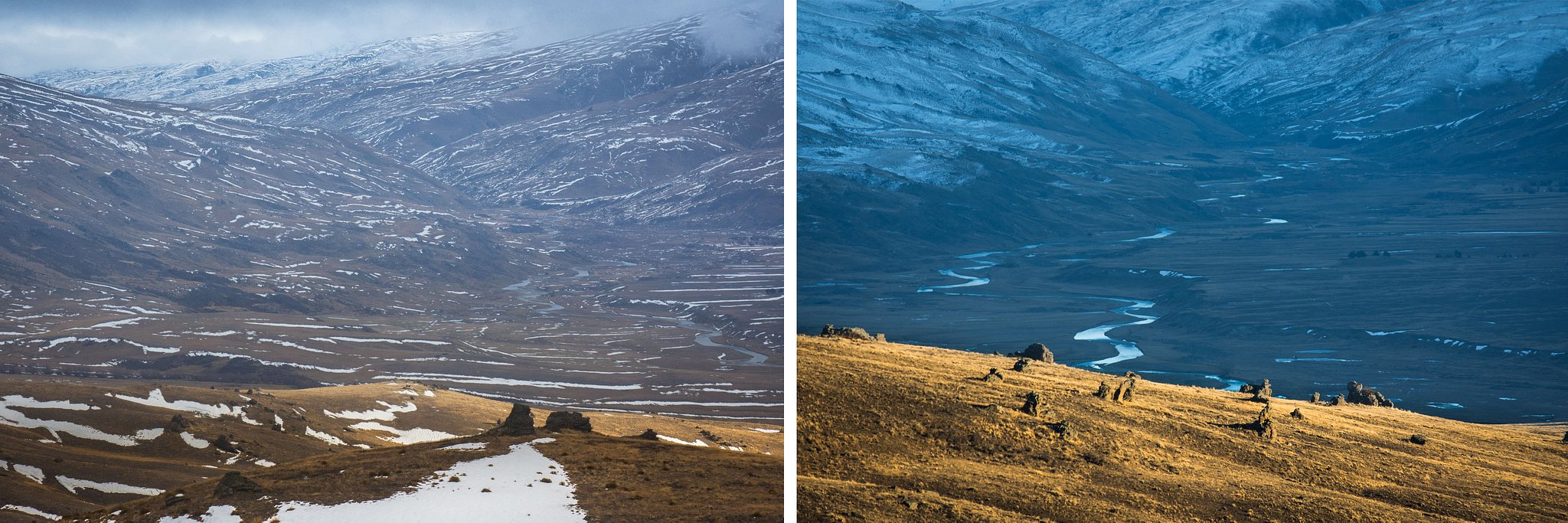
I’ll take any excuse to head up the winding road from Bannockburn to “the Nevis”. This last week I enjoyed taking Robert from Wellington on a photographic exploration of this amazing region. Just 45 minutes from downtown Queenstown you’re ascending a high plateau ringed by mountains and studded with strange rock formations. Here, the vastness of the sky and landscape and the silence envelopes you, deepening your connection to the natural world.

ABOVE: The Nevis River flows across an alpine plain stretching roughly 50 kilometres from Garston in Southland to Bannockburn in Central Otago
This landscape is treeless and stark, as was much of the region before European settlement. Contrasts are everywhere: rolling hills aglow with the golden colour of hardy alpine tussock and speargrass are set against a backdrop of triangular, snowclad peaks. Crazy, jagged sculptures of rock are often surrounded by carpets of soft moss and tiny alpine flowers.
The ascent from Bannockburn takes you to the highest point on a public road in New Zealand. From Duffer’s Saddle views of distant valleys, ranges, lakes, and rivers, lead the eye in all directions.

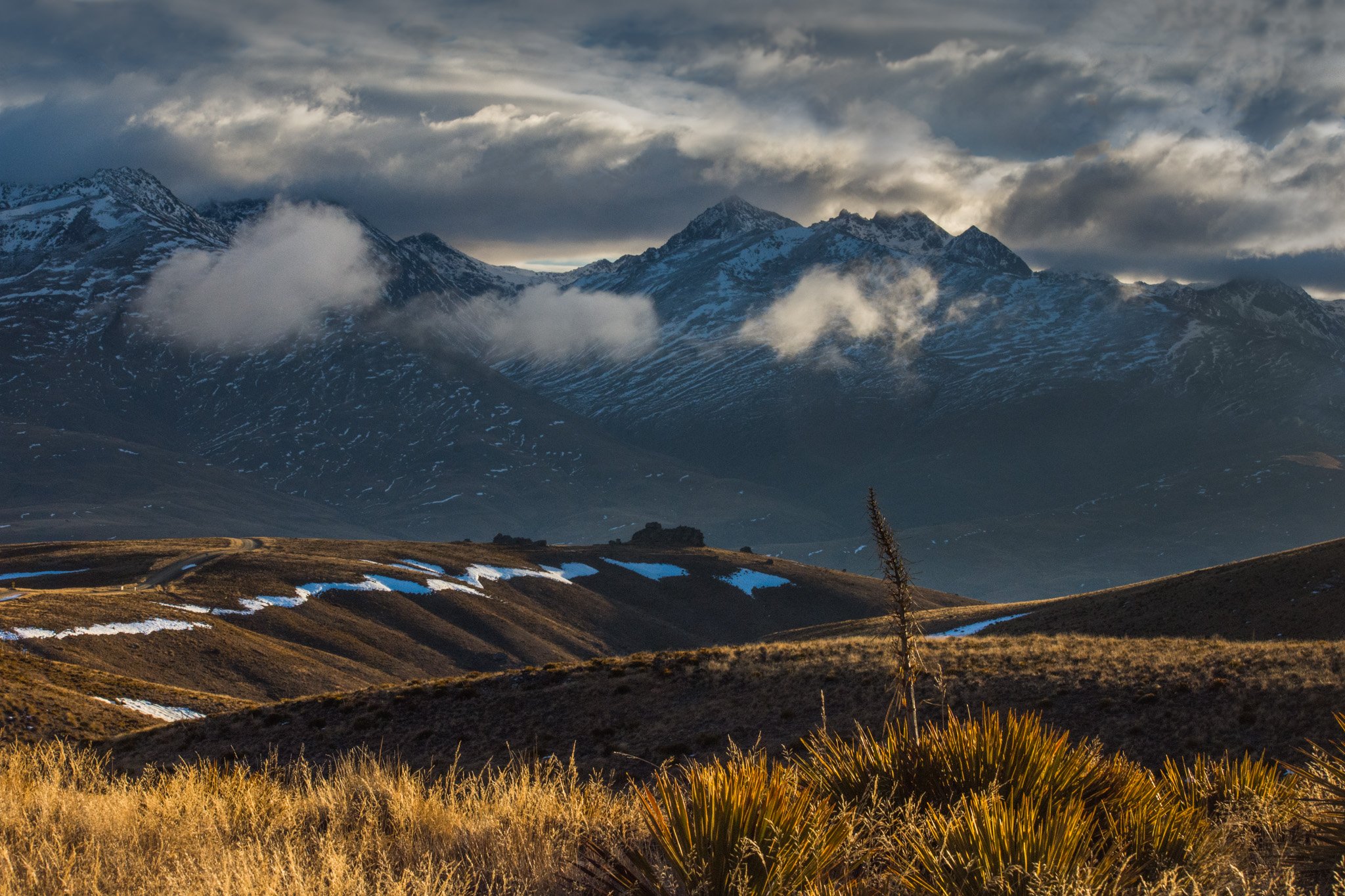
ABOVE: Aciphylla Horrida (Horrid speargrass) is a hardy alpine herb that dots the hills in the Nevis, here with the Remarkables Range as a backdrop.
Now home to just two vast sheep stations, the valley teemed with men searching for gold from the 1860’s. Evocative remnants remain: telegraph poles hammered into rock tors alongside the road into the valley; dredging ponds ringed with piles of rocks (mullock heaps); the ruins of the Nevis township and a lonely cemetery set in a vast plain where only hawks wheel in the sky above.
